drone mapping Application

Open Drone Map (ODM) is an open source and free to use drone mapping software. As a contribution to our community we are hosting the software on our servers. More info. please contact us  for user registration. Our drone mapping could be accessed here if you already have an account.
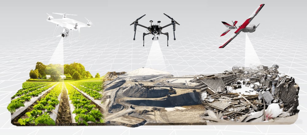
Key Features

Orthomosaics Georeferenced, orthorectified maps.

Point Cloud – Georeferenced, filtered and classified dense point clouds.

Digital Elevation Models Georeferenced digital elevation models (DSMs and DTMs).

3D Model – Textured 3D models in .OBJ format.

measurement – area, length, and volume

Plugins – there several plugins available for activation; and if you need a specific functionality you can develop your plugin.